Explore Belize Maps
Know Before You Go
We invite to learn more about Belize through our Maps. It’s a small country, about the size of the State of Massachusetts in the US, with a Coastline: 240 miles (386 km), Land Area: 8,805 sq miles (22,806 sq km) on the Caribbean. Belize has more in common with many of the islands in the Caribbean than it does with the bordering nations of Central America. World famous for its fabulous tourist attractions, including world class diving along the second largest barrier reef in the world, over 200 offshore islands and a rainforest in the western regions of the country. Belize is also a popular location for retirement living. Long a British colony, Belize is an exotic country that is simultaneously familiar.
English is the official language and . . . you can drink the water.
With a laid-back lifestyle and gorgeous landscapes, most visitors rapidly fall in love with Belize.
The most common question that people ask is, “Where is Belize?” Before you can plan your trip here, you’ll probably want to look at a few maps.
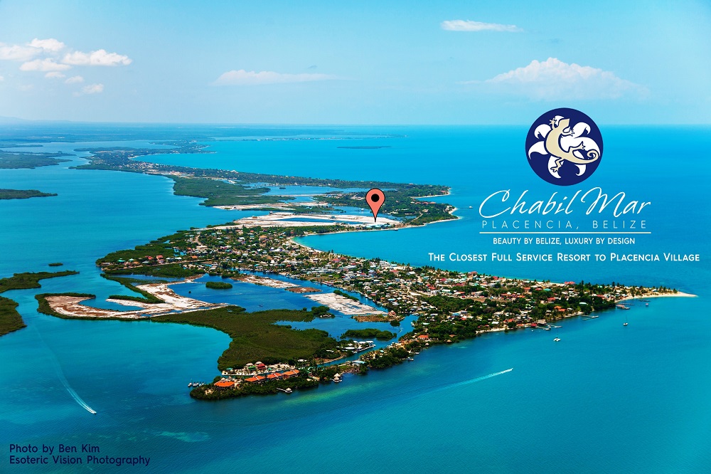
Chabil Mar is located in Placencia Village, on the 16 mile-long Placencia Peninsula in the southern district of Stann Creek. With so many places named Placencia (a Village, a Peninsula, a Lagoon, an Island, a Reef and even Hotels), we encourage you to explore our maps, some of which are interactive via Google Maps, to learn more about our Country, our Peninsula and our Village. Being in Placencia or at a Placencia Hotel doesn’t mean you are in Placencia Village.


