


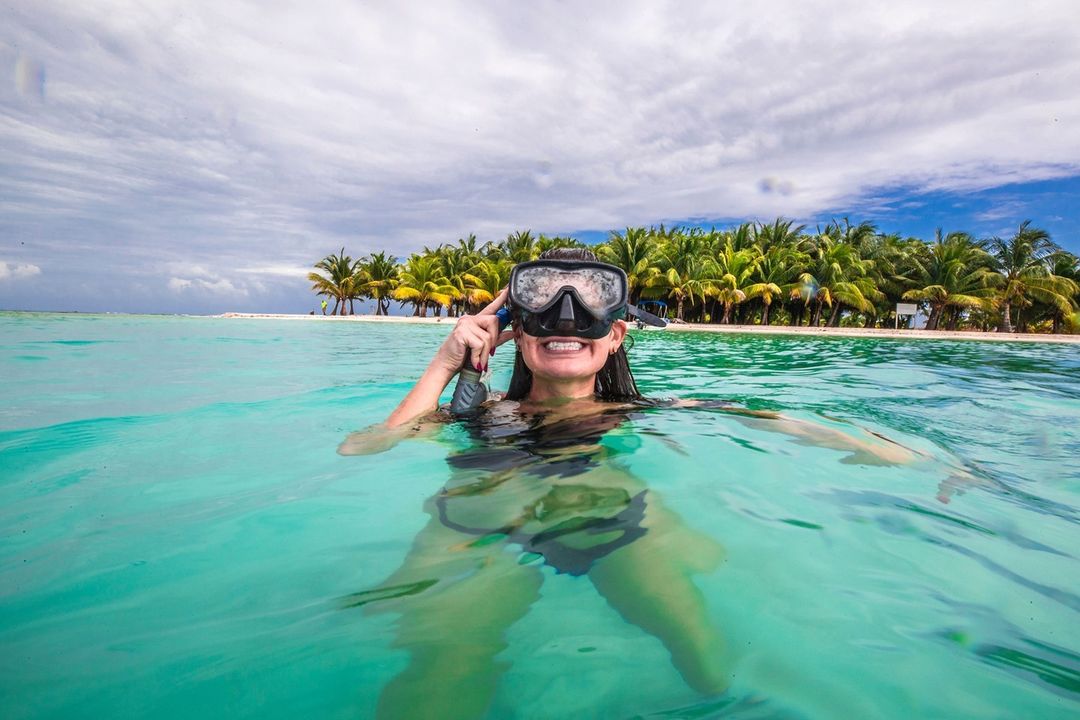
As the northern hemisphere basks in the bliss of summer in July, the lure of turquoise waters, golden sands, and vivacious local events beckons from a hidden gem in Central America: Placencia, Belize. In this quaint fishing village, summer unfurls its magic through the vibrancy of Caribbean life, crystalline seascapes, and an extraordinary event – the Placencia Lobsterfest. To relish the spectacle in its full glory, there’s no place more fitting than the majestic Chabil Mar Villas.
In the heart of Placencia, the month of July is synonymous with the Lobsterfest. This year, the 4th to the 6th will see the seaside village transform into a lively gala of music, culture, and, of course, the festival’s pièce de résistance – the glorious Belizean Spiny Lobster. Locals and tourists alike gather in festive fervor, making Lobsterfest not just an event, but a cornerstone of Belizean culture and hospitality.
The Lobsterfest offers a splendid culinary journey. From the traditional grilled lobster tail to inventive lobster-infused dishes that cater to the daring foodie, the festival promises an explosion of flavors. And while lobster takes center stage, myriad other local delicacies and exotic cocktails serve as delightful accompaniments, making the culinary adventure an immersive experience.

Beyond gastronomy, the Lobsterfest is an authentic cultural celebration. Expect to see local artists showcasing their talents, from soulful Garifuna drumming to lively Punta dancing. There are also interactive activities for the family, including fishing tournaments, beach games, and craft markets where you can find unique Belizean souvenirs.
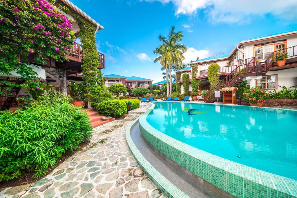
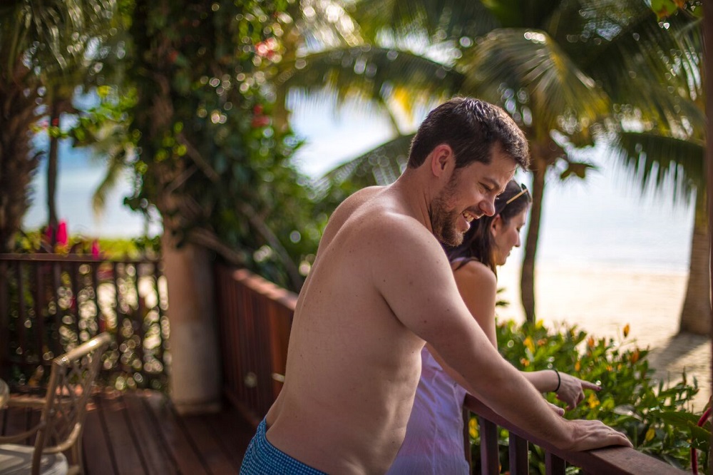
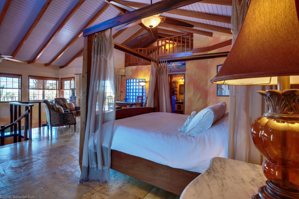
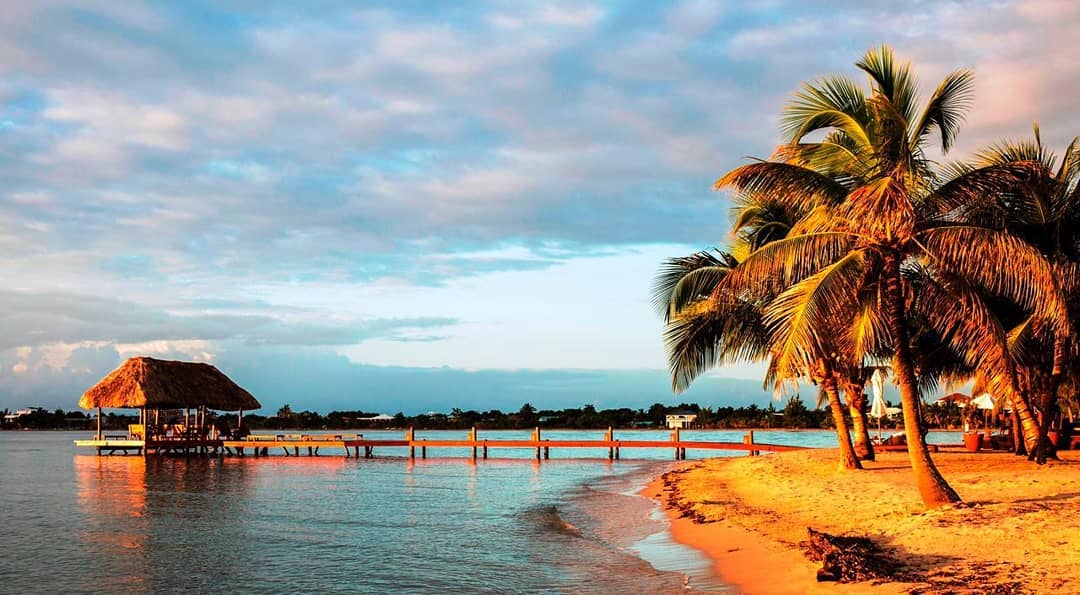
After the day’s exuberance, retreat to the serene haven of Chabil Mar. Nestled on the edge of Placencia, the resort offers unparalleled luxury and comfort. From private verandas overlooking the Caribbean Sea to the lush tropical gardens that frame the property, Chabil Mar is a sanctuary of tranquility.
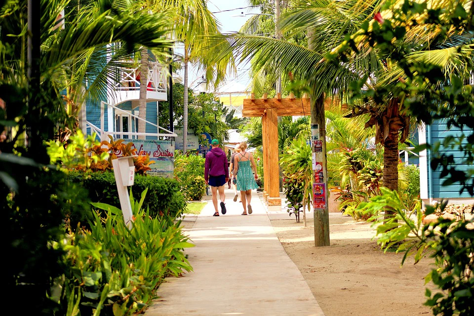
The resort’s location is perfect for Lobsterfest attendees. Just a short walk from the heart of the festival, it allows you to indulge in the lively festivities during the day and then retreat to the quiet comfort of your villa at night. Furthermore, the resort’s premier guest-only policy ensures an exclusive, peaceful escape when you need to recharge.
Moreover, Chabil Mar’s luxurious villas reflect the traditional Belizean architecture, blending harmoniously with modern comforts. The resort’s commitment to environmental sustainability also ensures you can enjoy your vacation guilt-free. The staff, known for its warm Belizean hospitality, cater to your every need, ensuring an unforgettable experience.
Chabil Mar also boasts two infinity swimming pools that are just steps away from the beach, an al fresco dining area, and a private pier – perfect for those romantic sunset dinners. The in-house chefs excel in creating both international and Belizean cuisines, so even if you miss the Lobsterfest, you won’t miss out on the delectable local flavors.
So, this July, let Placencia bewitch you with its perfect blend of Caribbean charm, vibrant culture, and divine culinary offerings. And make Chabil Mar your home, as you unravel the true essence of Belizean life during the unmissable Placencia Lobsterfest 2025. This captivating Belize adventure awaits your arrival – it’s an experience you won’t want to miss, and one you will never forget.
For more information about Belize, feel free to chat with our Concierge at concierge@chabilmarvillas.com or contact our Reservations Manager at reservations@chabilmarvillas.com. Or perhaps you would like to call toll-free from the US or Canada: 1-866-417-2377 or WhatsApp us at +501-633-7547.


Follow Us!